
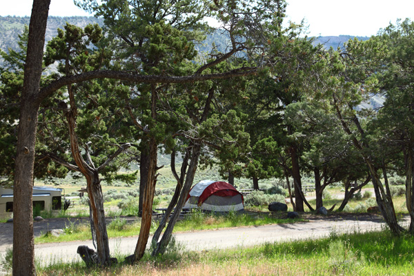
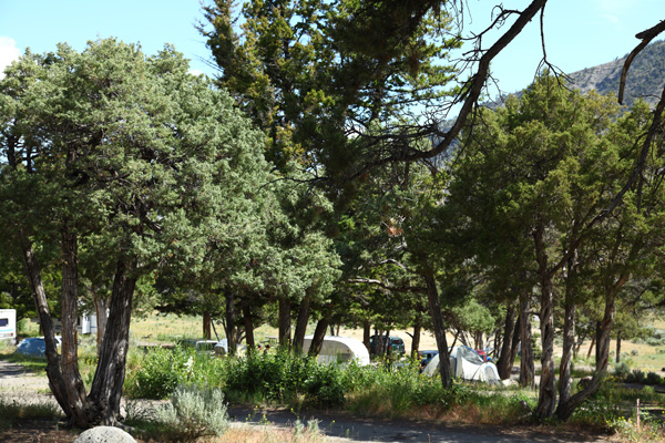
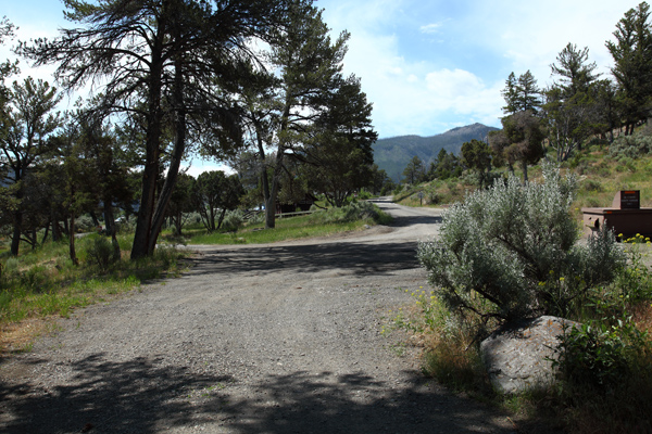
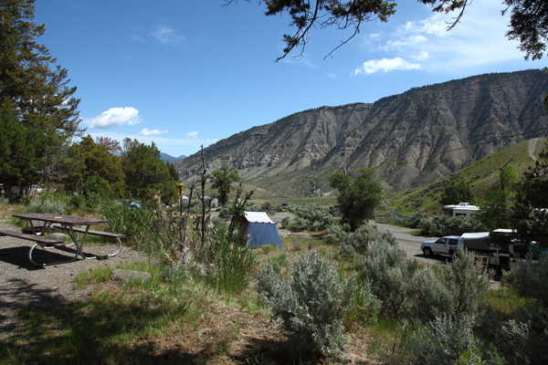
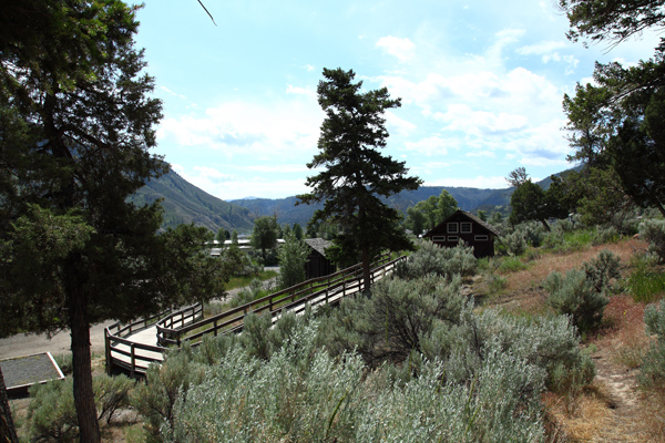
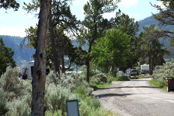
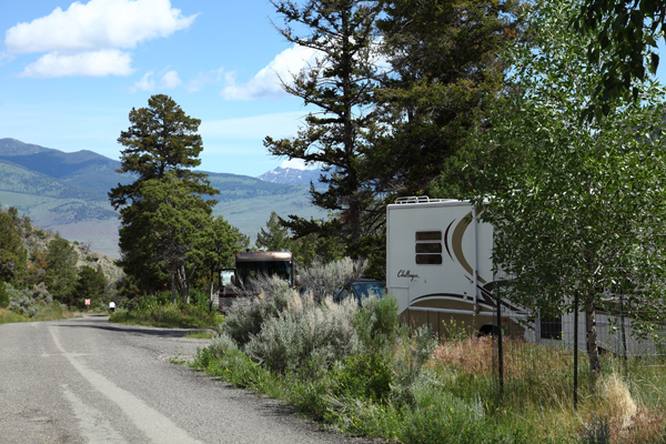
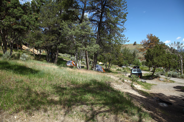
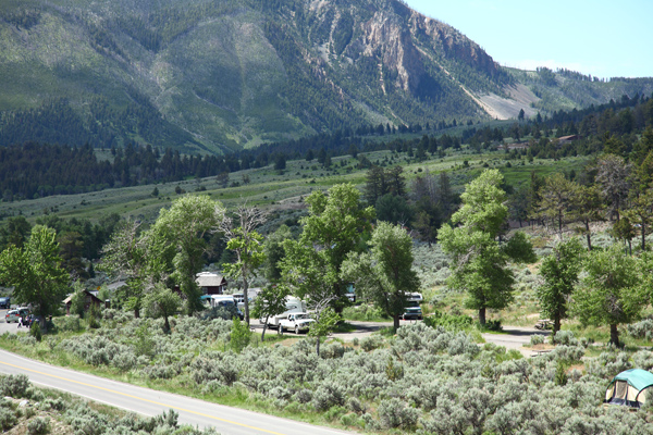
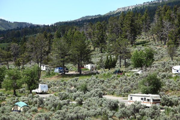
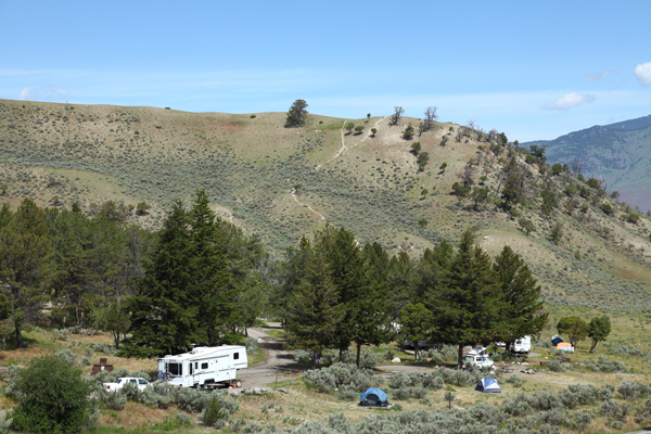
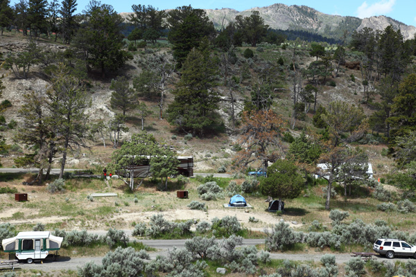
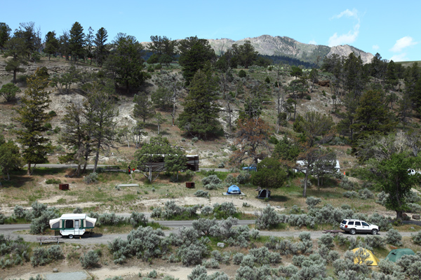
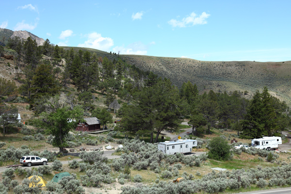
Mammoth Campground
Yellowstone National Park
* * Mammoth - Reservations April 1st through Oct 15th. Reservations through Recreation.gov. * *
Mammoth Campground Map
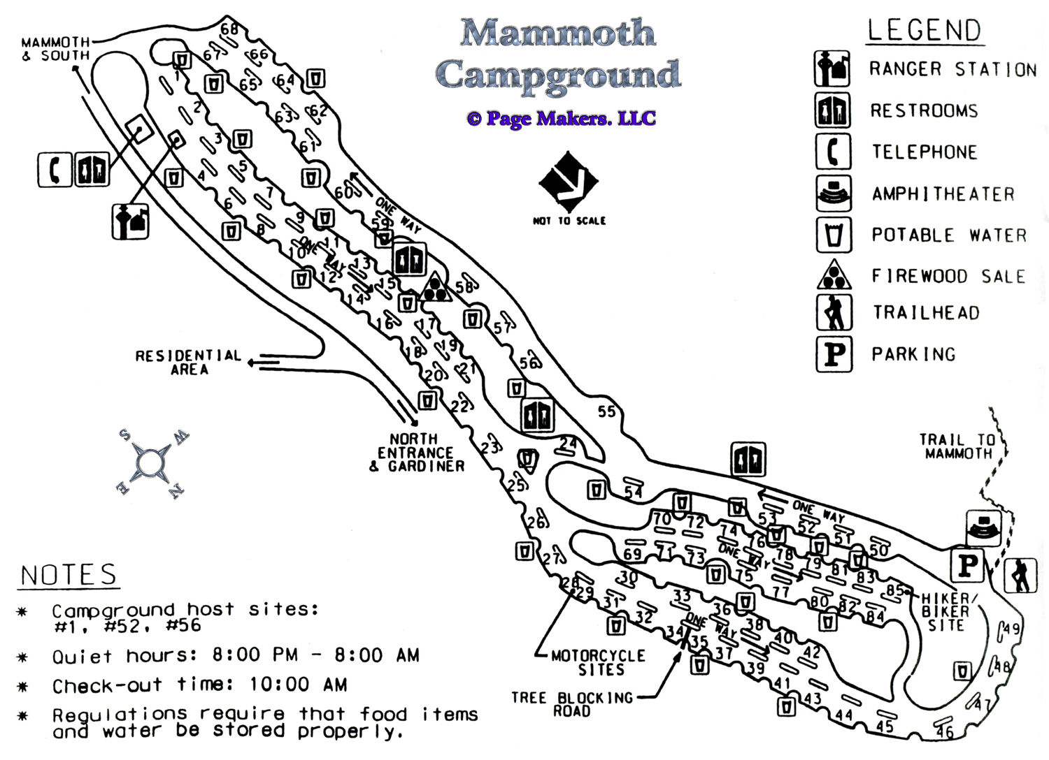 |
Mammoth Campground Map ~ Yellowstone National Park
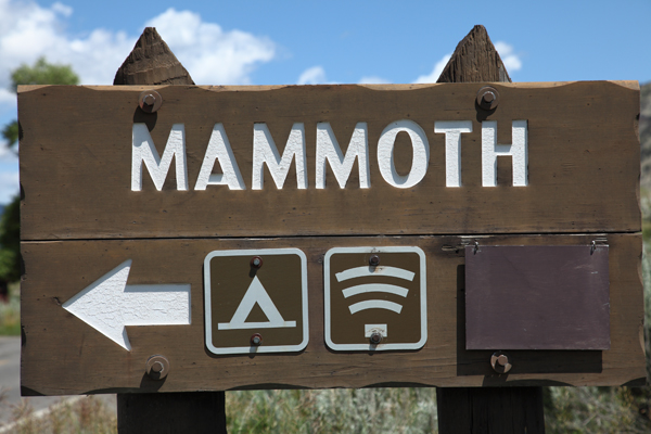
Mammoth Campground is the Only Campground Open Year Round
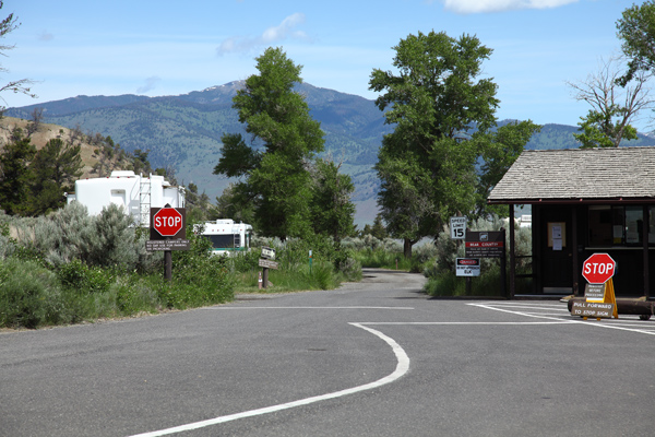
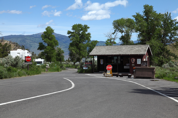
GPS Coordinates to Mammoth Campground Entrance Road: 44°58'22.35" N / 110°41'35.32" W
Mammoth Campground Map (pdf file - printable on 8.5" x 11")
| Mammoth Campground | |||||||||||
|---|---|---|---|---|---|---|---|---|---|---|---|
| Open | Close | Sites | S/L | Toilet | D/S | Gen | Elev | Res | Fee | ||
| Year | Round | 82 | No | Flush | No | Yes | 6,200 | Yes | $ 25 | ||
Mammoth Campground - Reservations through Recreation.gov.
S/L = Shower/Laundry ~ D/S = Dump Station ~ Gen = Generator (8:00 AM - 8:00 PM)
Res = Reservations ~ * = Rate Does NOT include Taxes and Fees
Fishing Bridge will accommodate an 18 foot truck and a 35 foot trailer side by side.
Indian Creek RV sites: 10 sites for 40 feet ~ 35 sites for 30 feet (pull-throughs)
Lewis Lake - RV & Trailer Information - Total length limit is 25 feet (7.6 m)
Mammoth max combined length of 40 feet (12.2 m) or more are limited. Some sites up to 75 feet total combined length.
Mammoth Campground
 |
 |
 |
 |
 |
 |
 |
 |
 |
 |
 |
 |
 |
 |
 |
 |
Mammoth Campground Video
Click Here for Yellowstone Campground Information
| Yellowstone National Park Milage | ||||||
|---|---|---|---|---|---|---|
| Canyon | Grant | Lake | Mammoth | Old Faithful | Roosevelt | |
| Canyon | -- | 40 | 17 | 33 | 42 | 19 |
| Grant | 40 | -- | 24 | 73 | 19 | 59 |
| Lake | 17 | 24 | -- | 49 | 38 | 36 |
| Mammoth | 33 | 73 | 49 | -- | 51 | 18 |
| Old Faithful | 42 | 19 | 38 | 51 | -- | 61 |
| Roosevelt | 19 | 59 | 36 | 18 | 61 | -- |
Milage Chart from Gardiner, Montana
Yellowstone National Park's North Entrance
| North Entrance at Gardiner, Montana | Less than a mile |
| Mammoth Hot Springs | 5 miles |
| Tower | 23 miles |
| Norris Geyser Basin | 26 miles |
| Canyon | 38 miles |
| Madison | 40 miles |
| Northeast Entrance | 52 miles |
| Silver Gate, Montana | 53 miles |
| West Entrance | 54 miles |
| West Yellowstone, Montana | 54 miles |
| Yellowstone Lake | 54 miles |
| Old Faithful | 56 miles |
| Cooke City, Montana | 56 miles |
| West Thumb | 73 miles |
| East Entrance | 81 miles |
| South Entrance | 95 miles |
| Cody, Wyoming | 134 miles |
| Jackson Hole, Wyoming | 160 miles |
* * * Cave Falls Campground * * *
a US Forest Service Campground just outside the southwest corner of Yellowstone not too far from the Bechler Ranger Station and Cave Falls.


| Yellowstone National Park WebCams | |||
|---|---|---|---|
| Old Faithful Live | All Old Faithful | Old Faithful Static | Old Faithful VC |
| North Entrance | Mt Washburn | Mammoth | YVO WebCam |
| Entrance Cities and Gateway Towns | |||
|---|---|---|---|
| Gardiner, Montana | Silver Gate, Montana | West Yellowstone, Montana | Cooke City, Montana |
| Livingston, Montana | Cody, Wyoming | Jackson Hole, Wyoming | Yellowstone National Park |

| Links | |
|---|---|
| The Great Outdoors Net | Great Outdoor Recreational Places |
| Gardiner, Montana | West Yellowstone, Montana |
 |  |